Drain Mapping & Tracing
Accurate drain mapping and tracing across London — locating pipe routes, connections, and underground utilities using advanced sonar and CCTV technology.
Drain Mapping & Tracing
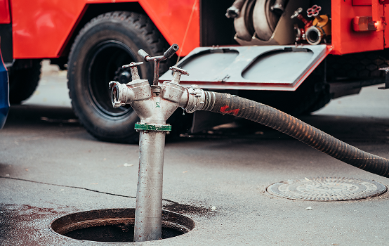
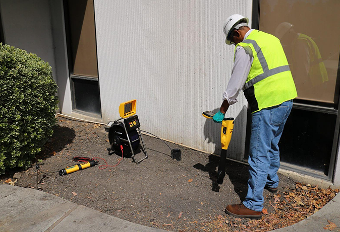
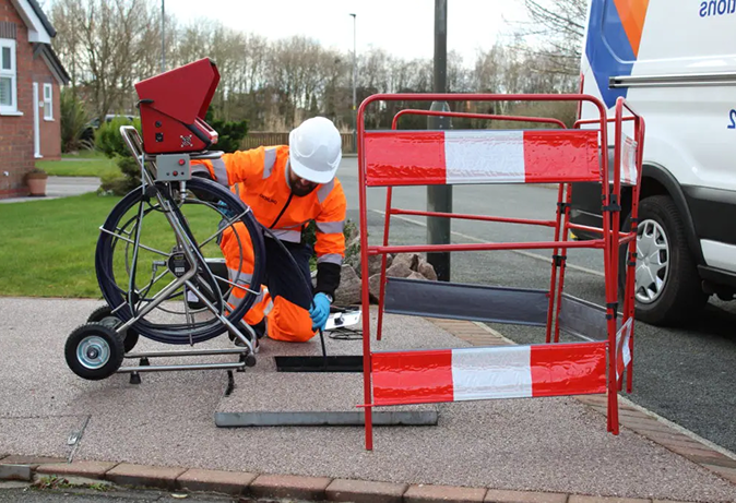
When you need to know exactly where your drains run and how they connect, drain mapping and tracing gives you the answer. Drainage systems are often undocumented, altered over the years, or simply unknown — so our surveyors trace the full route of your pipework, identify connections and chambers, establish depths and directions of flow, and map how the whole system fits together. Using advanced sonar, electromagnetic tracing, and CCTV, we turn an invisible network into a clear, accurate plan. It’s essential before construction or excavation, for resolving responsibility between private drains and public sewers, and for supporting build-over and planning applications. Where you need it, we produce detailed AutoCAD drainage drawings from the survey data, giving architects, developers, and engineers documentation they can rely on.
What's Included
Our drain mapping and tracing delivers:
- Full tracing of pipe routes and connections
- Location of chambers, junctions, and utilities
- Depths and directions of flow
- Clear, easy-to-read drainage plans
- Optional AutoCAD drawings from survey data
- Records suitable for planning and build-over
How Our Survey Process Works
A streamlined, professional approach ensuring minimal disruption and maximum accuracy
from start to finish.


Initial Consultation
Discuss your requirements, site
specifics, and objectives with our
engineering team.

Site Inspection
Our engineers arrive fully equipped
to assess the site safely and
efficiently.

Survey & Mapping
Deployment of advanced CCTV and
sonar equipment to capture precise
data.
Detailed Report
Delivery of comprehensive WinCan
reports, CAD drawings, and
recommendations.
Why Clients Choose Us
Delivering exceptional service with every project we complete.
- Specialist Drainage Survey Experts
- Advanced Survey Technology
- Comprehensive Drainage Solutions
- Detailed Reports & Clear Recommendations
- Build-Over Survey Specialists
- Accurate Drain Mapping & Tracing
Success Stories
What Our Clients Say
Real experiences from people we’ve helped navigate financial challenges.
“Rescue 2 Recovery helped us negotiate with creditors and finally regain financial breathing space.”
Kelly Garcia
“Rescue 2 Recovery helped us negotiate with creditors and finally regain financial breathing space.”
Kelly Garcia
“The team explained every step clearly and made a stressful situation
manageable.”
Jacque Adler
“The team explained every step clearly and made a stressful situation
manageable.”
Jacque Adler
“Professional, confidential, and genuinely supportive throughout the
process.”